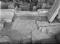
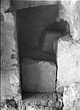
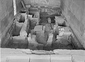
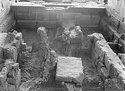
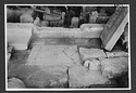
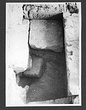
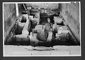
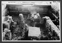
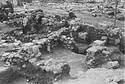
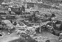
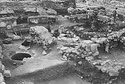
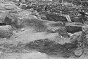
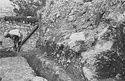
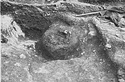
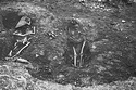
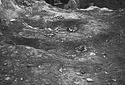
General view of the cut in the southwest corner of the section. Earth from the cut has been piled on modern surface. G = Grave (N 21:8). C = Cesspool. Looking west ... AMS 126 Horizontal (normal) ... 23 Mar 1939
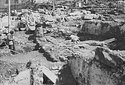
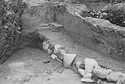
Line of road looking south. X is strosis + 0.65 level at east. Y is worn poros block. Z is conglomerate block in plan ... AMS 388 Horizontal (normal) ... 24 Mar 1939