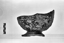
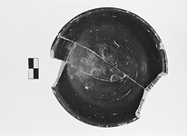
| Title: | Upper use fill | |
| Category: | Well | |
| Chronology: | End of 4th.-3rd c. B.C. | |
| Section: | ΓΓ | |
| Grid: | ΓΓ:64/ΚΒ | |
| Elevation: | -11.15--10.3m. | |
| Masl: | -11.15--10.3m. | |
| References: | Objects (25) Deposit: F 17:3 |
|
Sign in Provide feedback |
|
|
Sign in Provide feedback |
|